Mtirala National Park
The name "Mtirala" (crying) stems from mount Mtirala, the height of which reaches 1381 m above sea level and is the wettest area in the country due to frequent high humidity, fog and permanent rains.
Mtirala protected area covers 15,698 hectares of Kobuleti, Khelvachauri and Keda municipalities. The park was established in 2006 on the initiative of Ministry of Environment Protection and Natural Resources of Georgia and the Agency of Protected Areas, with the support of WWF and the Norwegian government.
The territory of Mtirala is constructed by volcanic-sedimentary rocks of so-called ‘Naghvarevi Pack’, which are presented by alternation of sub-alkali and lime alkali basalts, trachiandesites, andesites, delenites, tuffites, marls and argillites.
The park provides habitats for Colchis rare and endangered, relict and endemic plants and animals species. Humid Colchis forest spreads from 15-25 m up to 1000-1200 m height above the sea level. There are registered 284 species of plants, among them 21 bushes, 18 woody and 245 herbaceous species. 16 species are endemic ones, included in the Red List of Georgia: common chestnut (Castanea sativa), Pontic oak (Quercus pontica), Colchis box-tree (Buxus colchica), Medvedev birch (Betula medwedewii), Colchis nut (Corylus colchica), Rhododendron (Rhododendron ungernii), Walnut tree (Juglans regia), Epigea (Epigaea gaultheriodes), Eew (Taxus baccata), Colchis bladdernut (Staphylea colchica).
Thinned sections and meadows are covered with blackberry and wood-like blueberry bushes. Riverside and its tributaries are surrounded by boxwoods (Buxuscolchica).
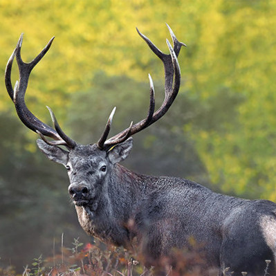
Mtirala National Park is inhabited by 95 animal species, 23 of which are included in the Red List of Georgia: Caucasian squirrel, brown bear, Caucasian salamander, lynx, Caucasian adder, the butterflies – Apollo and Caucasian festoon. Bigger fowls are represented by small eagles, hawks, kites, etc.
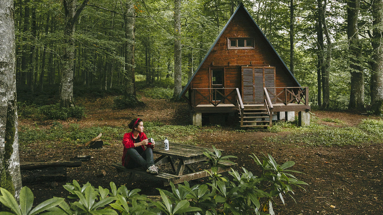
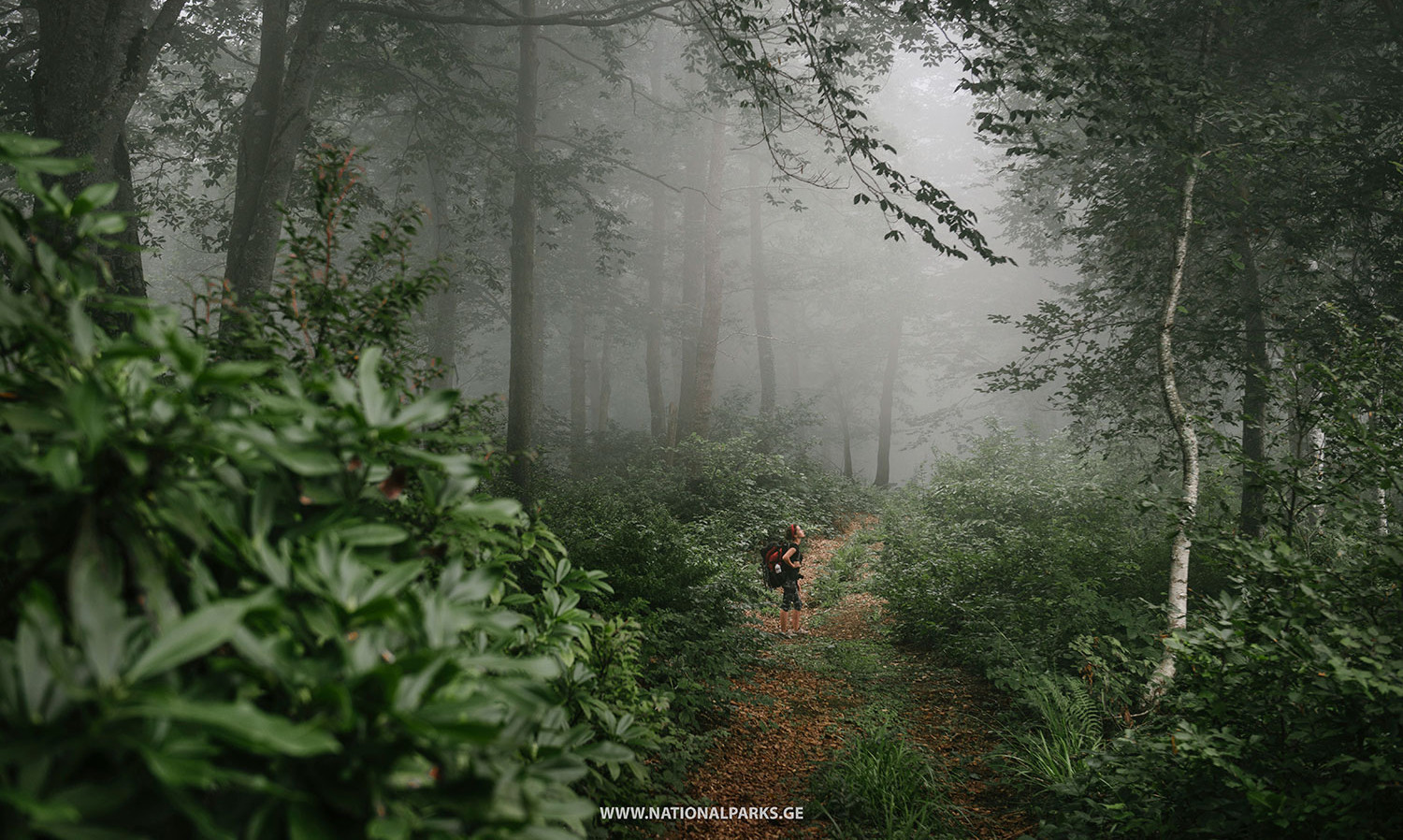
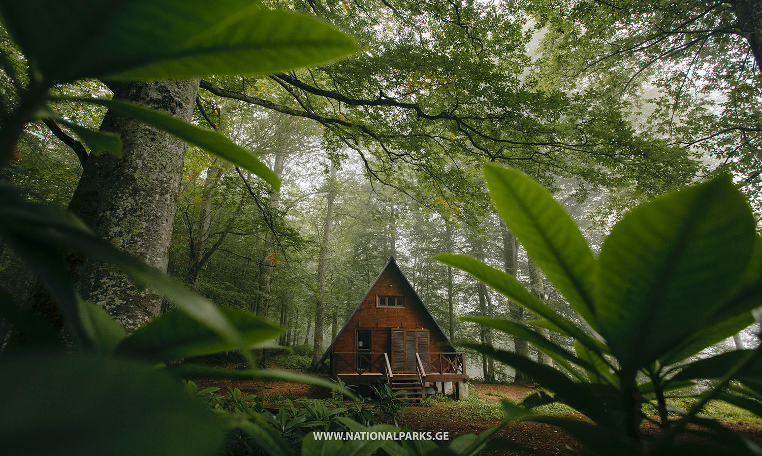
Mtirala National Park Administration is located in historical Adjara, Chaqvi. The narrow ground road leads us to the visitor center, in village Chaqvistavi, which is 15 km away from the administration. The park offers visitors hiking, horsing, scientific eco-tours. There are two tourist trails here built with the support of the World Wildlife Fund (WWF). Trails are covered in one or two days, all marked and well-arranged.
1. TSABLNARI TRAIL (Chestnut forest) - 7 km, 1 day, pedestrian, difficulty: easy
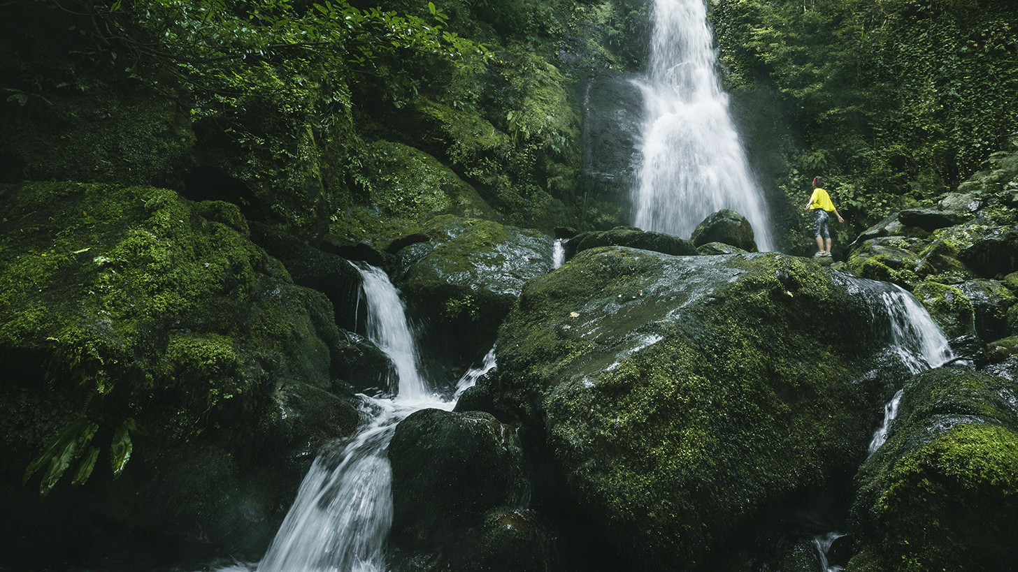
The trail length is between 265 - 442 meters above sea level and has both educational, entertainment purposes. It starts from the visitor center in Chakvistavi and passes through two important sites, the waterfall and the lake. The underwood with cherry laurel, Colchic box trees and various types of ivies all contribute to the beauty of the pathway.
The trail follows beautiful gorge of the Chakvistskali River. Two kilometres from the visitor center, there is 15 m high waterfall covered with ivy and Colchic box trees. A designated camping area is located near the waterfall, in the middle of wild nature. The river nearby has an abundance of trout. There are designated picnic spots and fire pits at the river bank.
2. TRAIL TSIVTSKARO (cold spring)
Trip starts from the visitor center at 260 m in the Colchis broad-leaved mixed forest and ends at beech trees, 1,250 m above sea level. Along the way visitors will find the tracks of brown bears, martens, the Europe an Badger, roe deer, Chamois and many other animals.
The route follows natural springs, where there are restrooms, picnic area, designated fire pit and tourist shelter that can accommodate 8 people.
On the second day of the tour, the trail continues across untouched beech groves, where visitors can stop at springs and picnic spots located nearby. The route can be used for scientific observations of both flora and fauna, as some forests in the section are not allowed to be touched in any way.
National Park has huge potential for development of bird watching and eco-tourism. Best seasons to visit are spring, summer and early autumn. The visitor center of national park helps to organize a guide, horse and local transport.
The National Park has huge potential for development of bird watching and ecotourism. Development of ethnographical tourism is possible in the nearby mountain villages as well.
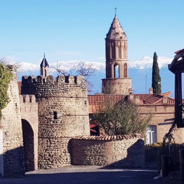
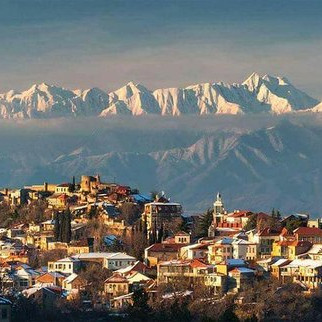
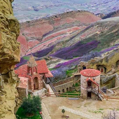
Ruins of fortresses and bridges of the Early and Late Middle Ages are found in the surroundings of Mount Mtirala (or Tsiskara). The most important monuments of those periods are the 13th century Skhalta church of hall type, Khikhani, Gonio and Petra castles. Territories near the Mtirala National Park, in Didi Achara, Dandaloand Maradidi still keep mosques – cult buildings of Moslem Georgians. The villages nearby Mtirala Park keep unique samples of ancient national wooden houses.
Archeological excavations discovered even the oldest – the pre-Christian monuments. The ruins of iron mines and Colchis settlements of 3rd-2nd centuries B.C. have been investigated. And In the territory of Gonio castle, which in ancient Greek and Roman annals is known as Apsarunti, the hippodrome, store buildings and houses of the 2nd century B.C. were excavated.
AVAILABLE ACTIVITIES: HIKING, RECREATION, SCIENTIFIC OBSERVATION, RIDING MOUNTAINOUS BICYCLE AND QUADRICYCLE, HORSE RIDING, BIRD WATCHING
To book private tour from Batumi, please, contact our travel expert here.

 Deutsch
 русский