GEOGRAPHY
Georgia covers an area of 69,700 square kilometers, with its population estimated at about 3,984,284, as of Friday, February 19, 2021, based on Worldometer elaboration of the latest United Nations data. The great part of Georgia is situated in the South Caucasus, while a portion of the territory lies in the North Caucasus. Being at the crossroads of Western Asia and Eastern Europe, Georgia is bordered by the Black Sea to the West, by Russia to the North. The following Russian republics – from west to east – border Georgia: Krasnodar Krai, Karachay-Cherkessia, Kabardino-Balkaria, North Ossetia – Alania, Ingushetia, Chechnya, and Dagestan. Georgia also shares borders with Azerbaijan (322km) to the south-east, Armenia (164km) to the south, and Turkey (252km) to the south-west.
Georgia is separated from the North Caucasian Republics of Russia by Greater Caucasus Range - with the highest peak in Europe Mount Elbrus at 5,642 metres above sea level. The southern part of the country is bounded by the Lesser Caucasus Mountains.
Administrative division: Georgia is divided into 9 regions and 2 autonomous republics Ajara Autonomous Republic-principal city Batumi and South Ossetia principal city Tskhinvali . The regions are further subdivided into 73 districts.
Major cities: Tbilisi-capital city, Kutaisi, Batumi, Gori, Rustavi, Poti, Sokhumi, Gagra, Chiatura, Tkibuli, Tskaltubo, Tskhinvali.
Major rivers: Mtkvari - 1515 km; Tergi-623 km; Chorokhi-438 km; Alazani-391 km; Rioni-327km and Enguri-213 km.
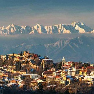
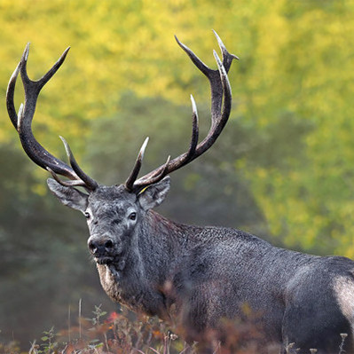
The landscape within the country is diverse, comprising mountains and high peaks: Kazbegi, Ushba, Shkhara, Tetnuldi, etc., hills, low-lying lands and mountain ranges. Western Georgia’s scenery varies from lowland rain-forests and swamps to permanent snows and glaciers, whereas the Eastern part includes a small portion of semi-arid plains. Forests cover approximately 40 percent of the country’s territory, and only 10 percent of the land is the alpine zone.
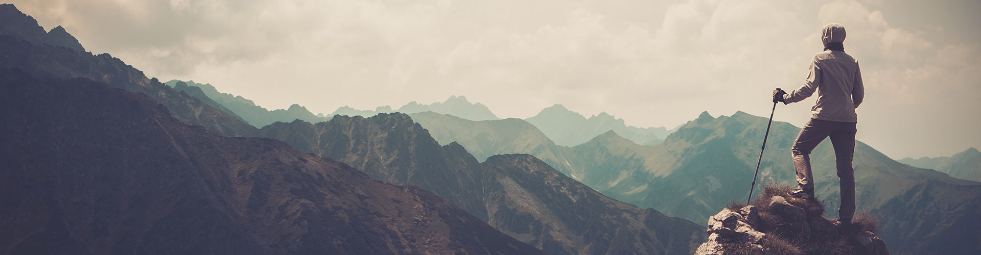
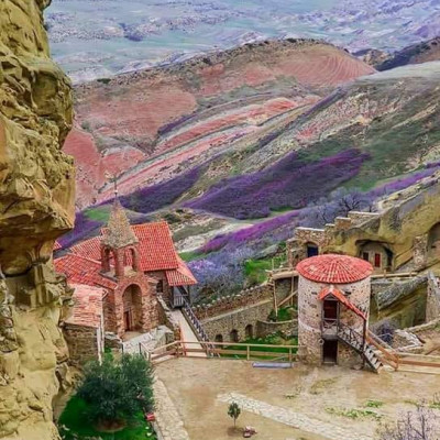
Georgia is distinguished by its breathtaking nature and natural landmarks that are definitely worth visiting.
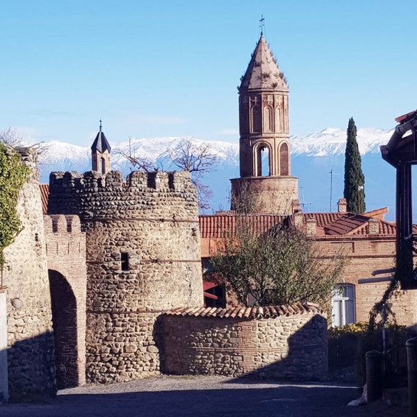
For those who love trekking, hiking, camping and spending time in the countryside, Georgia is Paradise on earth. Visitors will discover here national parks, green valleys, gorgeous lakes, canyons, limestone formations, etc. Numerous cultural monuments, ancient churches and monasteries hiding in dense forests surrounded by Caucasian Mountains, are silent witnesses of rich history.
MINERAL WATERS
There are about 2000 mineral springs in Georgia and 32 health resorts function on the basis of mineral waters. 600 mouths and bore holes are characterized by free educe of carbon dioxide (Carbon dioxide content: 97-100 %.)
Borjomi, Sairme, Nabeglavi, Dzau, Lugela, Skuri sparkling waters are high in mineral content. They are bottled for sale and are widely consumed for their curative and digestive properties. Factories collecting and producing for local and international markets are mostly located in these famous spa towns of the same names.
Georgia is very rich with its inner waters: rivers, lakes, water pools, underground waters and bogs. There are about 25 075 rivers in Georgia, a part of them belongs to the Black Sea basin, and another part to Caspian Sea basin. Mtkvari is the greatest river of Georgia (400 km. length on Georgian territory). It starts from mountains of Turkey and falls into Caspian Sea in the territory of Azerbaijan. Rivers of west Georgia are independently flowing into Black Sea. There are about 860 lakes in Georgia. Ritsa is the deepest lake in the whole Caucasus and Tabatskuri Lake is the biggest in its capacity.
The water of main 12 water pools of Georgia is used for irrigation and power plants: Enguri, Shauri, Tkibuli, Vartsikhe, Algeti, Djinvali etc. 688 glaciers of Georgia are located only in Caucasus main range. Glaciers are well developed in the West Georgia, prolonged from river Bzipi source to Mamisoni mountain path. Main part of Kolkheti valley is covered with bogs. Small ones are located in volcanic mountains of Javakheti.

 Deutsch
 русский